











Services
What Do We Do
Ready to Transform Your Business?
Let's discuss how our services can help you achieve your goals
Get Started TodayIndustries
Where We Specialize
Transforming Industries with GIS and Software Development
Discover the power of GIS and Software Development in driving innovation across industries. Our team of experts leverages advanced technologies to deliver tailored solutions that meet the unique needs of our clients.

Agriculture
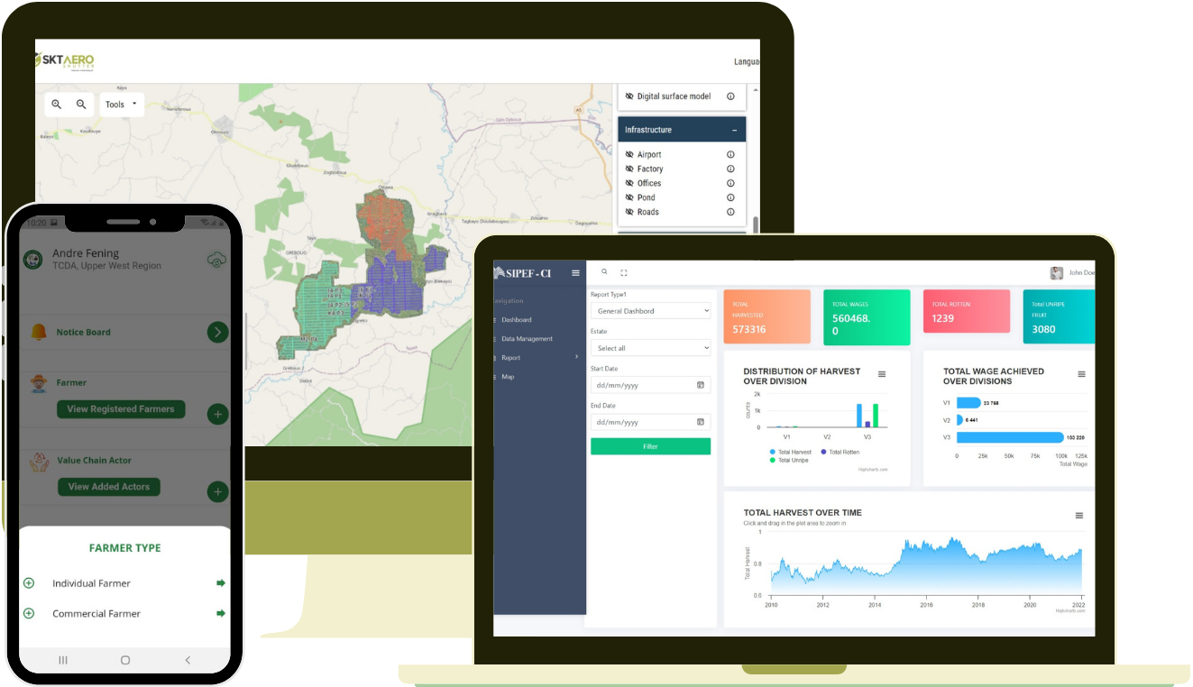
Enhance crop monitoring and yield optimization through precision farming tools and aerial imagery analysis.

Energy
Offering GIS-based solutions for site selection, asset management, and renewable energy resource mapping.

Construction
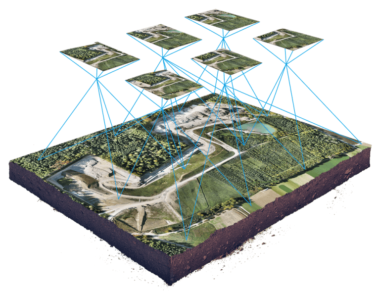
Optimize project planning, resource allocation, and site management in construction through geospatial insight.

Mining
Facilitate exploration, site characterization, and environmental impact assessment with geospatial solutions.

Transportation
Enhance route optimization, traffic flow, and public transportation through geospatial insights and software solutions.
Water Management
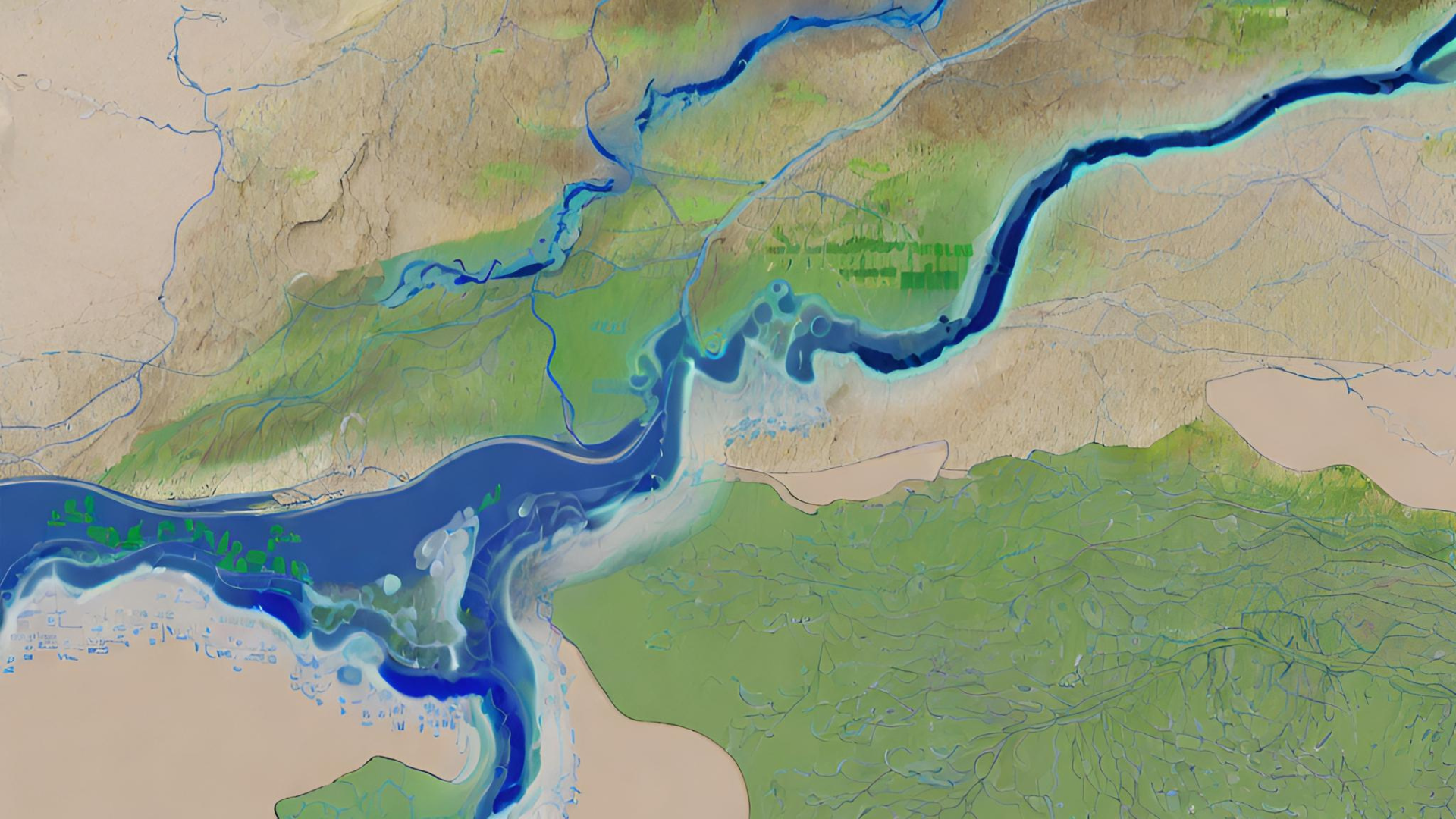
Improve water resource mapping, flood risk analysis, and irrigation planning through customized software.
Don't See Your Industry?
We work across various sectors. Let's discuss your specific needs.
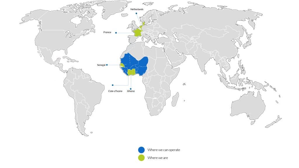
Contact UsWhere to Reach Us Our Office


Contact Us
Have a project in mind? Let's discuss how we can help you achieve your goals.
Email Us
info@sktlive.com
Call Us
+233 538 702 445
Visit Us
1st Asoyi Rd, Accra
What Our Clients Say
Testimonials
Hear what our clients say about working with us
“The staff was very friendly and helpful, ensuring that we received excellent customer service and value for our money. We would recommend them to anyone.”
Project Director
Environmental Conservation • Kyerama Foundation
Trusted by Leading Organizations
Frequently Asked Questions
Questions
Geospatial technology involves gathering, analyzing, and visualizing geographical data to provide insights for various industries. It can benefit your business by improving decision-making, optimizing resource allocation, enhancing market analysis, and facilitating better communication with stakeholders.
We offer a range of geospatial services, including GIS (Geographic Information Systems) analysis, spatial data processing, remote sensing, satellite imagery analysis, cartography, GPS (Global Positioning System) mapping, location-based services (LBS), geodatabase management, and custom web and mobile application development.
Yes, we specialize in integrating geospatial functionality into existing software systems and applications. Whether you're looking to add mapping capabilities, spatial analysis tools, or location-based features, our team can tailor solutions to meet your specific requirements.
We take data security and privacy seriously and adhere to industry best practices and compliance standards. Our systems are designed with robust security measures to protect sensitive information, and we strictly follow data protection regulations such as GDPR (General Data Protection Regulation) and HIPAA (Health Insurance Portability and Accountability Act) where applicable.
To get started, simply reach out to us through our website contact form or email us at [contact@email.com]. We'll schedule a consultation to discuss your project requirements, provide a customized proposal, and outline the next steps for collaboration.

Interested in SKTLive?
Transform your vision into reality with our expert geospatial solutions. Let's discuss how we can help your business thrive.
17+ Partners
Global Clients
Fast Delivery
Quick Turnaround
Best Value
Competitive Pricing
