get in touch
Contact us today and explore our innovative solutions and expert services!
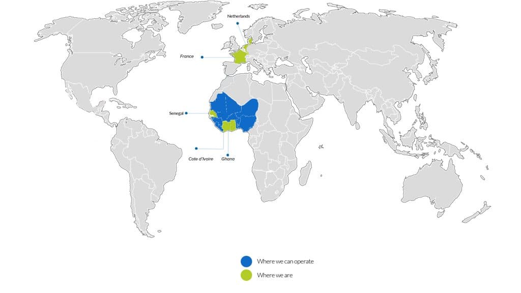
Where to Reach Us Our Office


Frequently Asked Questions
Questions
Geospatial technology involves gathering, analyzing, and visualizing geographical data to provide insights for various industries. It can benefit your business by improving decision-making, optimizing resource allocation, enhancing market analysis, and facilitating better communication with stakeholders.
We offer a range of geospatial services, including GIS (Geographic Information Systems) analysis, spatial data processing, remote sensing, satellite imagery analysis, cartography, GPS (Global Positioning System) mapping, location-based services (LBS), geodatabase management, and custom web and mobile application development.
Yes, we specialize in integrating geospatial functionality into existing software systems and applications. Whether you're looking to add mapping capabilities, spatial analysis tools, or location-based features, our team can tailor solutions to meet your specific requirements.
We take data security and privacy seriously and adhere to industry best practices and compliance standards. Our systems are designed with robust security measures to protect sensitive information, and we strictly follow data protection regulations such as GDPR (General Data Protection Regulation) and HIPAA (Health Insurance Portability and Accountability Act) where applicable.
To get started, simply reach out to us through our website contact form or email us at [contact@email.com]. We'll schedule a consultation to discuss your project requirements, provide a customized proposal, and outline the next steps for collaboration.