Corridor Mapping Project
Client
Rango Construction
Sector
Construction
Deliverables
Topographical mapVolume reportsLongitudinal profilesSectional analyses
Location
Accra,Ghana
Project Summary
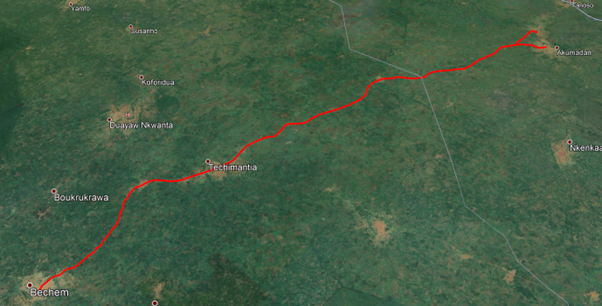
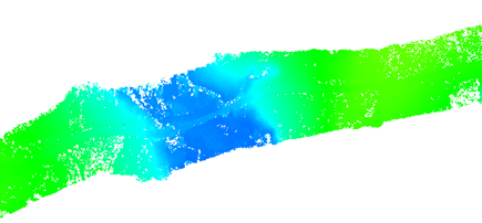
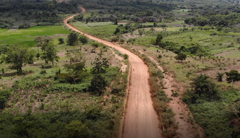
A significant portion of the corridor was scanned using LiDAR technology, enabling the generation of ground points essential for contour and Digital Terrain Model (DTM) creation. This meticulous approach facilitated the successful production of a comprehensive suite of deliverables, including a topographical map, volume reports, longitudinal profiles, and sectional analyses at 25-meter intervals for the Bechem to Akumada corridor.


